 For more sites and hikes, see also the Explore/Overview page "Overview | Central Pine Barrens Joint Planning and Policy Commission"
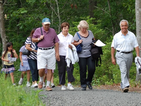
Join a Hike
Some local organizations that lead hikes and/or where hikes are offered in the area include:
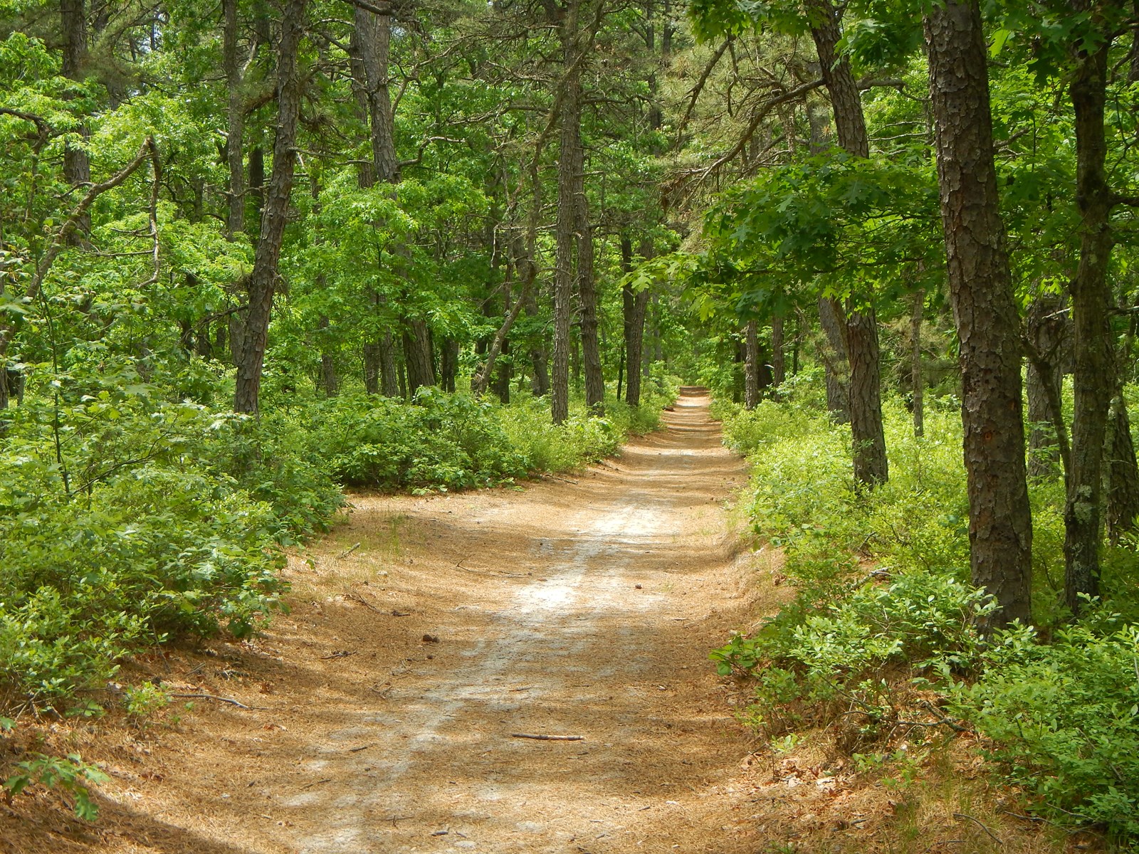
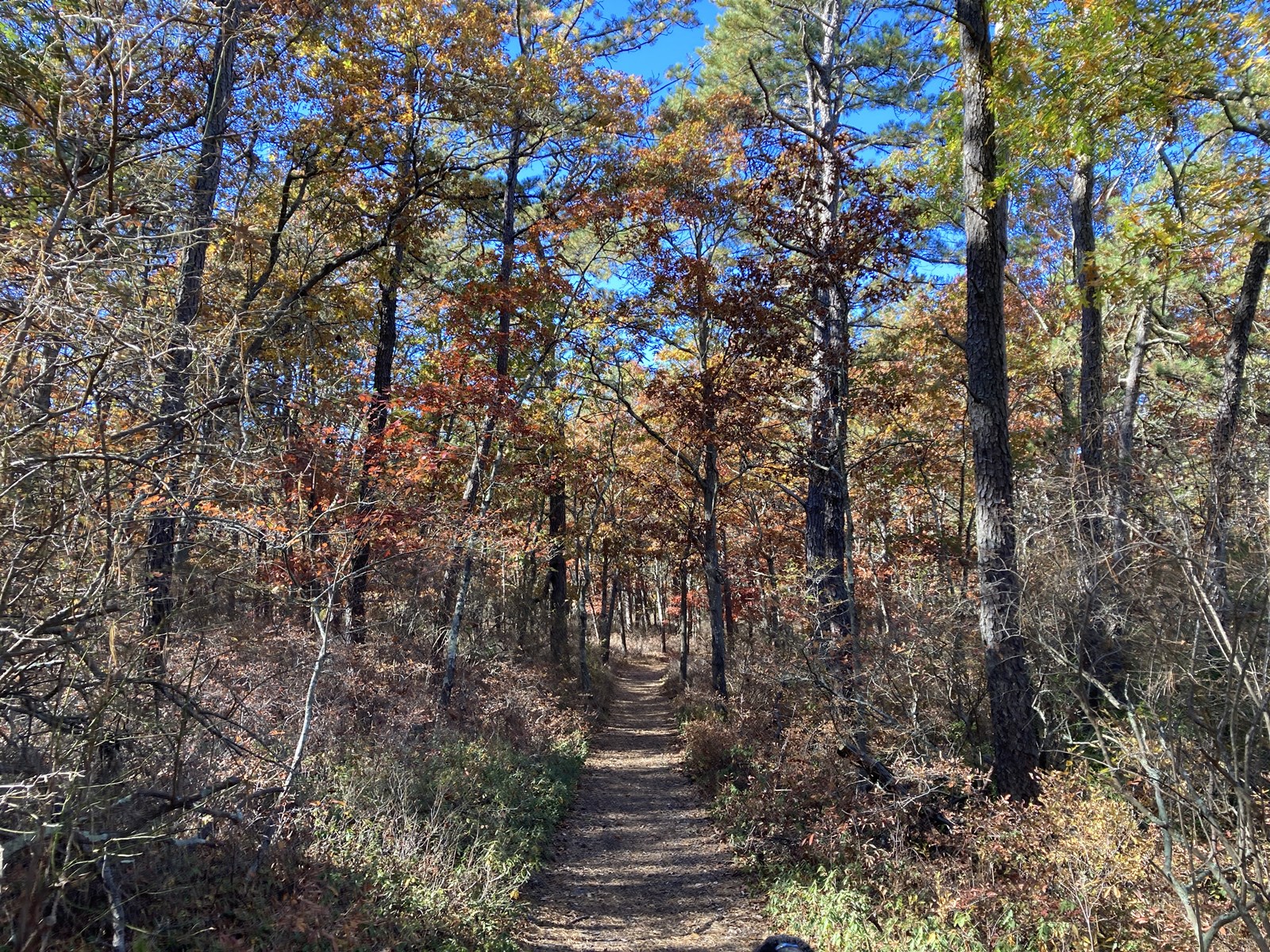
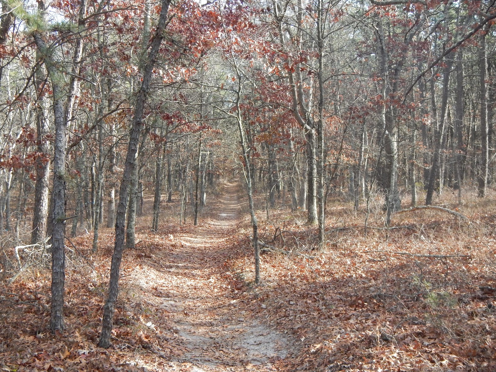
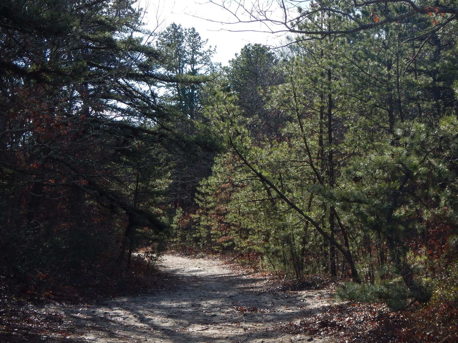
Trails in the Central Pine Barrens
Paul, Lawrence G., 1983. The Pine Barrens of Ronkonkoma, A Guide for the Hiker to the Long Island Pine Barrens. New York New Jersey Trail Conference.
This is a special guide to natural and cultural history in the pine barrens along with significant hiking trails and information in the areas of Peconic River, Manorville Hills, Riverhead Hills, the Dwarf Pine Plains, Flanders, and the Flanders Hill Fire Tower
Brookhaven State Park, William Floyd Parkway, Wading River:
Directions: Take the LIE (Route 495) to exit 68; go north on William Floyd Parkway approximately five miles; park entrance will be on your right just past Whiskey Road. Trail Map
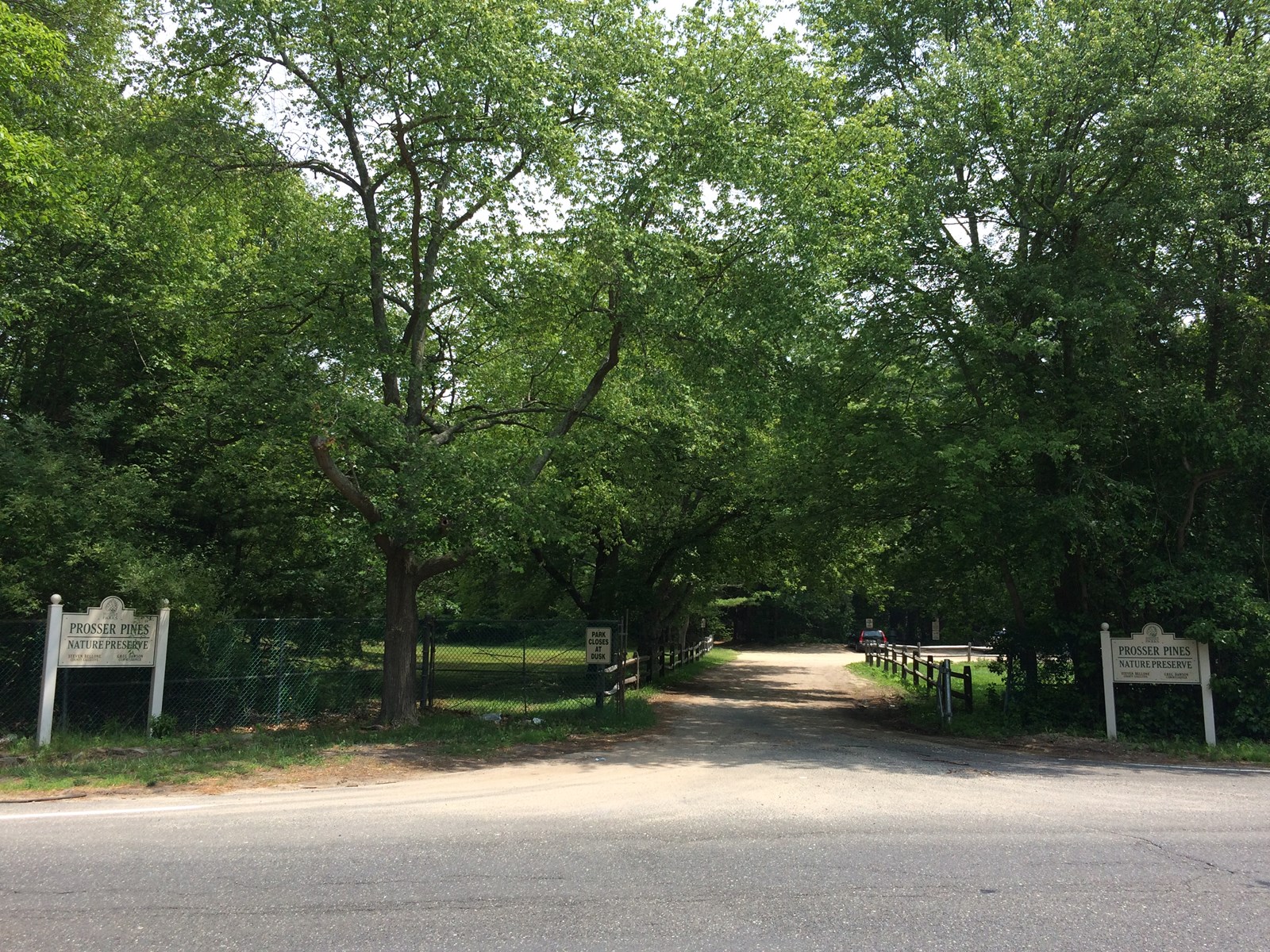
Cathedral Pines County Park, Yaphank-Middle Island Road, Middle Island:
Directions: From east: LIE (495) to exit 68 north (Wm. Floyd Pkwy). Turn left onto Longwood Rd. At end of Longwood Rd. turn left; entrance is immediately to your right.
From west: LIE (495) to exit 66 north (Sills Rd); turn left onto E Patchogue Yaphank Rd/Sills Rd. Slight left to stay on E Patchogue Yaphank Rd/Sills Rd. Continue onto Coram – Yaphank/Yaphank Middle Island Road. Park is on your left. Trail Map
Campground: 631-852-5502.
David A. Sarnoff Pine Barrens Preserve, Flanders and Northampton:
Directions: Sunrise Highway (NY 27) to exit 63 north; County Road 31 north to traffic circle; follow around to right to second access point, which will be Quogue Riverhead Road (Route 104). Access the preserve will be on your left. Trail Map
Dwarf Pine Plains Preserve, County Road 31, Westhampton Beach:
Directions: Sunrise Highway (NY 27) to exit 63 south; County Road 31 south about .10 of a mile. Park at the Suffolk County Water Authority’s Eastern Regional Office which will be on the left of County Road 31.
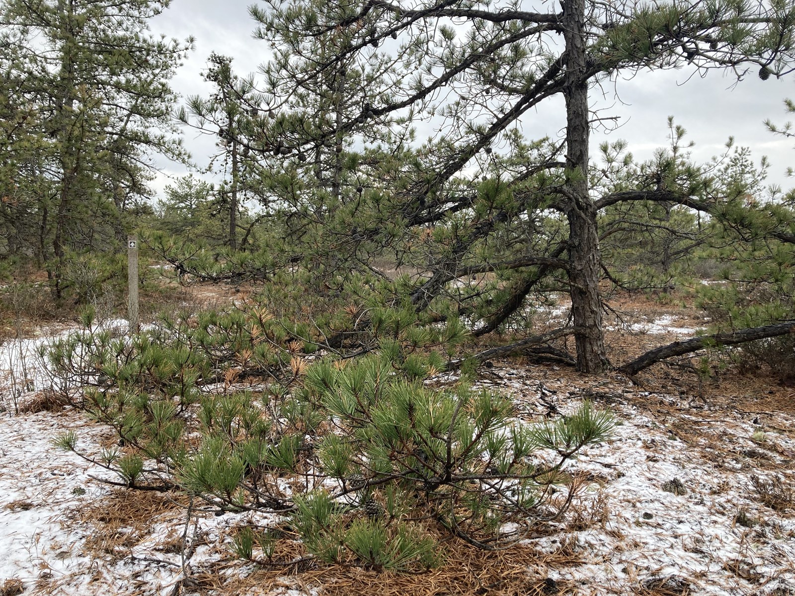
The trail allows the visitor to experience this unique ecosystem. The trail is 6/10 of a mile long and takes about 20 minutes to walk.
Manorville Hills County Park, County Road 111, Manorville:
Directions: From L.I.E. Exit 70, go south to a marked left turn at Hot Water Street. Continue across the road to the parking area. From Sunrise Highway (NY 27) eastbound, go north from Exit 62 on C.R. 11 to the county park sign and the parking lot.
Manorville Hills County Park Walking Trail, New York - 959 Reviews, Map | AllTrails
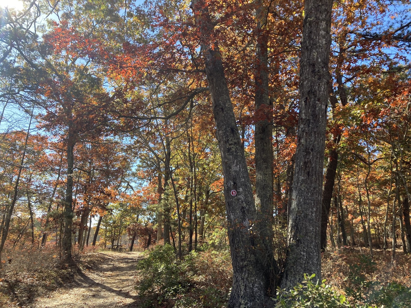
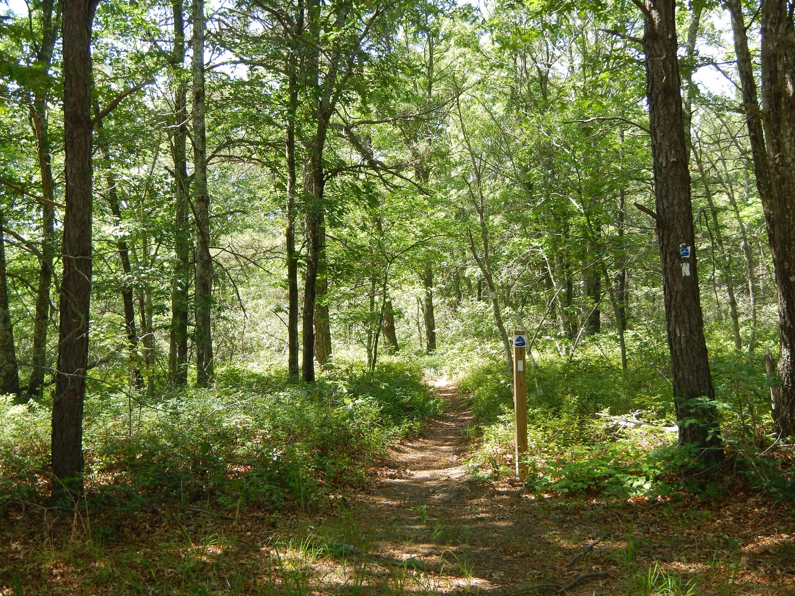
Paumanok Path:
The Paumanok Path is a 125-mile hiking trail marked by white trail blazes that passes through much of the Central Pine Barrens region (the full path extends from Rocky Point to Montauk Point State Park). Refer to a trail guide for the closest access point to where you’d like to hike.
Prosser Pines: 73 Yaphank Middle Island Rd, Middle Island, NY 11953
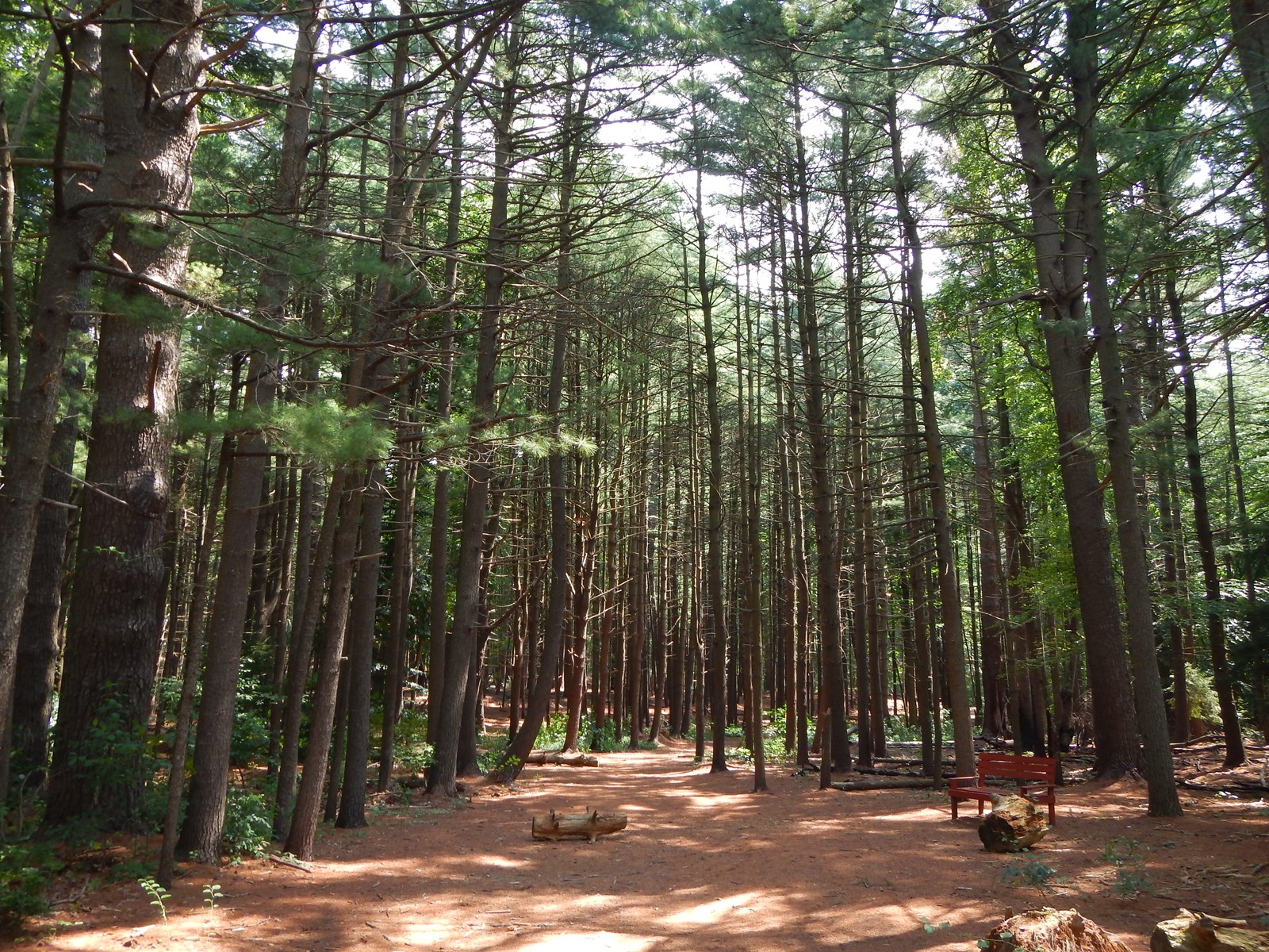
Prosser Pines Loop Trail is a 0.7 mile moderately trafficked loop trail that features a great forest setting and is good for all skill levels. The trail is for hiking and trail running and is accessible year-round. Dogs on leashes are welcome on this trail.
Quogue Wildlife Refuge, Old Country Road, Quogue:
Directions: Sunrise Highway (NY 27) to exit 64 south; take Quogue Riverhead Road south approximately two miles to Old Country Road; right on Old Country Road; access to refuge is approximately 1 mile on your right.
Trail Map
Robert Cushman Murphy County Park, River Road, Calverton and Manorville:
Directions: LIE (Route 495) to exit 70; CR 111 south to Halsey Manor Road; left turn at Halsey Manor Road; follow north, across the Long Island Expressway and railroad tracks. Halsey Manor Road becomes Connecticut Avenue once railroad tracks have been crossed. Follow Connecticut Avenue north to River Road. Make left turn at River Road and make next left turn at Old River Road. Follow Old River Road to the first entrance on your right (north side of the road).
Rocky Point Pine Barrens State Forest, Rocky Point and Ridge:
Directions: The forest is accessible through parking areas located on Route 25A, Rocky Point Road and Whiskey Road. To get to Whiskey Road, take the LIE (Route 495) to exit 68; go north on William Floyd Parkway approximately five miles; take left on Whiskey Road. Parking area will be on your right. To get to Route 25A, take the LIE to exit 68; go north of William Floyd Parkway approximately seven miles; take left on Route 25A; parking area will be on your left.
Sears-Bellows County Park, Bellows Pond Road, Hampton Bays:
Directions: Follow Sunrise Highway to exit 65 North. Follow road (Route 24) to Bellows Pond Road. Make a left turn onto Bellows Pond Road. The park entrance is on your right. Trail Map
Park office: 631-852-8290.
Southaven County Park, Victory Boulevard, Shirley: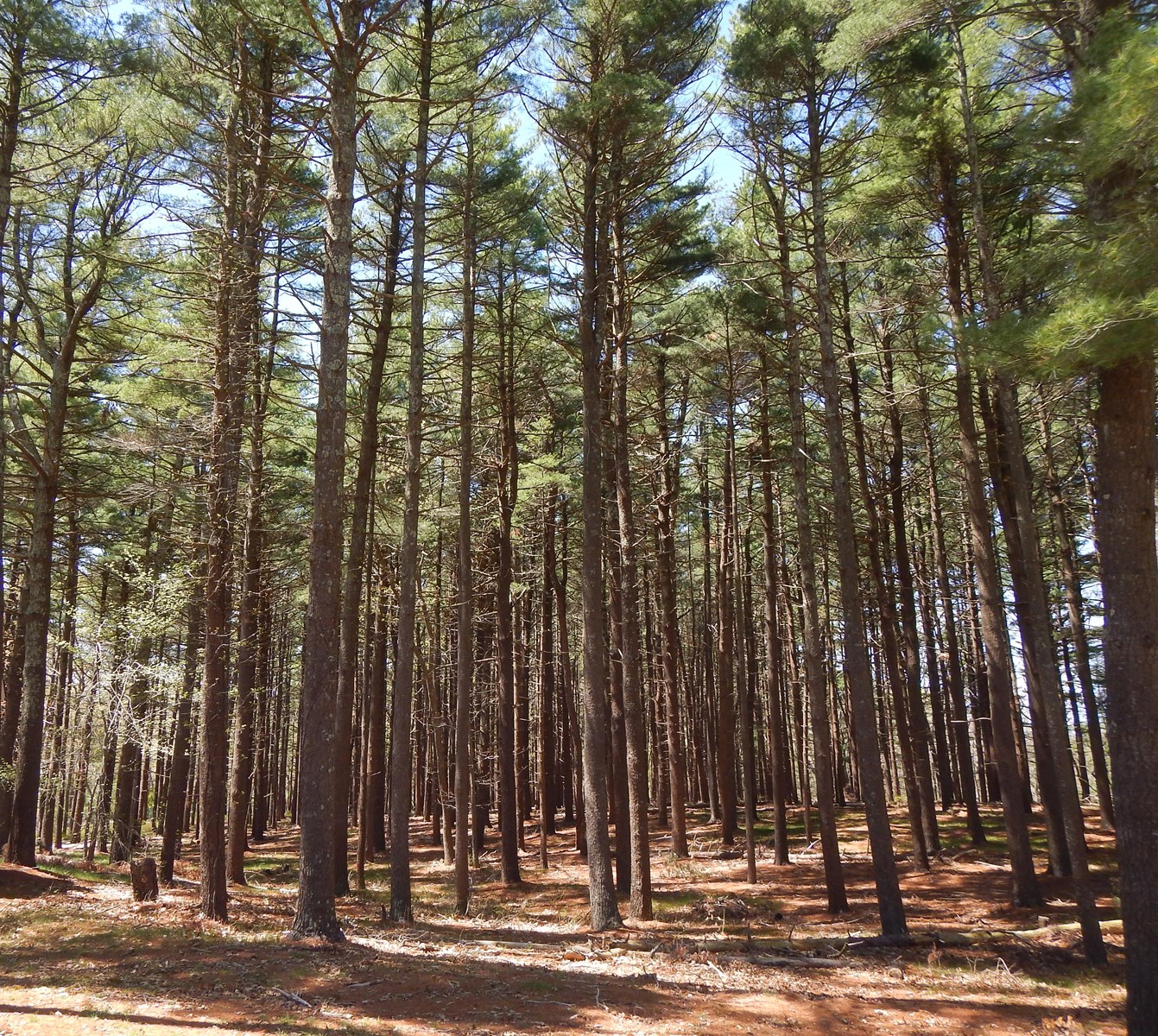
Directions: From Sunrise Highway, take exit 58 north. As you enter William Floyd Parkway, prepare to turn west onto Victory Avenue. Follow signs to main entrance to park.
Park office: 631-854-1414.
Wertheim National Wildlife Refuge, Shirley and Brookhaven:
Directions: From east: Sunrise Highway (NY 27) to exit 68 south; take William Floyd Parkway south to Montauk Highway, approximately ¼ mile; take right; take left on Smith Road, approximately ¾ mile; access to the refuge is approximately ½ mile on right.
From west: Sunrise Highway (NY 27) to exit 67 south; take Horseblock Road south to Montauk Highway, approximately .10 mile; take left; take right on Smith Road, approximately 1.5 miles; access to the refuge is approximately ½ mile on right. Trail Map
For more information, see this interactive map Hiking in the Long Island Pine Barrens - Map & Hiking Guide