FINAL REPORT - April 2025
Water-Quality Monitoring
Water-Quality Sampling in Streams
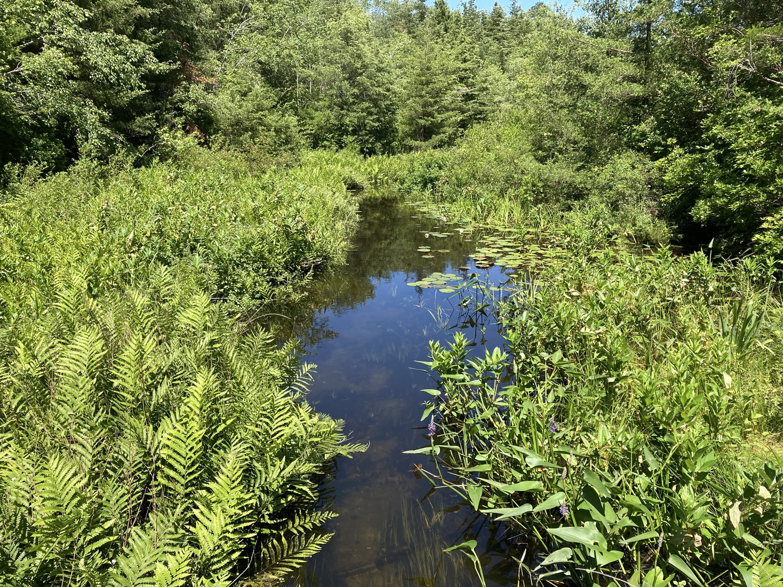
To understand the effects of point and non-point contamination sources on the streams within the Central Pine Barrens, the USGS collects water samples from four locations along two streams; two samples each from the Carmans and Peconic Rivers (fig.1). The Peconic River is sampled two times a year, once in the spring and once in the fall, while the Carmans River is sampled four times a year (seasonally). Each water sample collected is analyzed for nutrients, major inorganic constituents, and alkalinity. Analysis of pesticides and pharmaceutical constituents occurs annually for samples from select sites. A schedule of the stream-sampling effort is shown in Table 1.

Figure 1. Location of USGS stream-discharge, groundwater-level, and water-quality monitoring stations within the Central Pine Barrens region of Long Island, NY. (Public domain.)
Table1: USGS water-quality sampling schedule at streams within the Central Pine Barrens region. [Tasks listed by Federal Fiscal Year (FFY); “X” indicates a sample collected for nutrients, major inorganics, and alkalinity; “*” indicates a sample collected for pesticides and pharmaceuticals. Physical parameters (pH, dissolved oxygen, water temperature, specific conductance, and turbidity) are collected during each sample visit] (Public domain.)
Groundwater-Quality Sampling
The groundwater-aquifer system underlying the Central Pine Barrens region consists of a series of mostly unconsolidated stratified sediments comprised of sand, gravel, silt and clay (fig. 2). The uppermost aquifer (upper glacial aquifer), contains the water table and is generally comprised of Pleistocene outwash and ice-contact deposits. Beneath the upper glacial aquifer lies the Cretaceous Magothy and Lloyd aquifers.
Six water-table aquifer wells within the Central Pine Barrens region (fig. 1) are sampled annually by the USGS, to provide a comprehensive water-quality dataset documenting shallow-groundwater quality conditions throughout the region. Samples collected from these wells are analyzed for nutrients, major inorganics, alkalinity, and pesticides annually. In 2018 the collected samples will also be analyzed for volatile- organic compounds, pharmaceuticals, and perfluorinated compounds (PFCs).
Figure 2. Generalized cross section of Long Island showing the main aquifers and confining units (Cohen and others, 1968) (Public domain.)
Water-Quantity Monitoring
Groundwater Levels
Groundwater-level elevations are measured by the USGS in the Central Pine Barrens region monthly at 24 wells, and annually each spring at an additional 31 wells (fig. 1). Three wells equipped with water-level recorders provide continuous data used to document water-table fluctuations in the Central Pine Barrens related to changes in precipitation and water usage, and also provides insight into changing locations of stream start-of-flow along the Carmans and Peconic rivers.
These groundwater-elevation measurements collected in the Central Pine Barrens region are part of a larger USGS monitoring program that provides information on the altitude of the water table, and the deeper Magothy and Lloyd aquifers, throughout most of Long Island. This larger network is funded through USGS cooperation with State, County, and local partners, and provides the information needed for various water management, ecological, and engineering issues, and for the production of USGS water-level maps, depth-to-water maps, and hydrological-study reports.
Stream Discharge
Nearly all of the water flowing in streams and moving through lakes on Long Island is derived from groundwater, therefore, they provide a window to the overall health of the underlying aquifer system. If the water table is lowered due to drought, pumping, or sewering, the ecosystems of these streams, lakes, and wetlands can be adversely impacted.
The USGS assess streamflow conditions in the CPB region, by collecting measurements at 9 locations two times per year (spring and fall) at the two largest streams; 4 locations along the Carmans River and 5 along the Peconic River (fig. 1). These measurements supplement the continuous data collected by the USGS at permanent-gaged locations along both rivers that is funded through a cooperative program with State, County, and local agencies.
Additional stream discharge will be measured by the USGS during one water-quality sampling event (spring or fall) at both Carmans and Peconic River gaged locations (01304500, 01305000) and at the ungaged downstream Carmans River location (01305040 ) to help assess the contaminant load for each stream. A sample collection timeline is provided in Table 1.
Additional information on USGS hydrologic monitoring activities throughout Long Island is available from the “U.S. Geological Survey Hydrologic Monitoring on Long Island, New York” Project Webpage or from the New York Water Science Center Homepage.
Use this link to access the USGS and Central Pine Barrens Commission program.
View and download data from the USGS webpage.
2019 data summary
Annual Updates
2019 annual update
2020 annual update
2021 annual update
2022 annual update